Richtersveld & Namaqua NP 2017

Route:

Kgalagadi NP > Keetmanshoop (Namibia) > Hobas (Fish River Canyon) > Ai-Ais > Ausengehr > Sendelingsdrif > Richtersveld (De Hoop, Richtersberg, Kokerboomkloof) > Alexander Bay > Port Nolloth > Hondeklipbaai > Groenvleimond > Namaqua NP (Koringkorrelbaai, Kwass se baai) > Goegab Reserve > Augrabies NP > Witsand Reserve

R&N2017-1
Map of the Ai-Ais Richtersveld Transfrontier Park

Keetmanshoop to Ai-Ais:

R&N2017-2
Fish River Canyon
R&N2017-3
Massive Rose Quartz deposits near Ai-Ais
R&N2017-4
Naute Dam near Keetmanshoop

Ai-Ais to Richtersveld:

R&N2017-5
Aussenkehr in Orange River valley
R&N2017-6
Grapes at Aussenkehr
R&N2017-7
Crossing the Orange River at Sendelingsdrif
R&N2017-8
Ferry at Sendelingsdrif

Richtersveld:

RichersveldNamakwa2017-9
View across Richtersveld
RichersveldNamakwa2017-10
Richtersberg campsite on the banks of the Orange River
R&N2017-11
De Hoop campsite
R&N2017-12
Richtersberg campsite
R&N2017-13
Richtersberg
R&N2017-14
Richtersveld view
R&N2017-15
Kokerboomkloof campsite

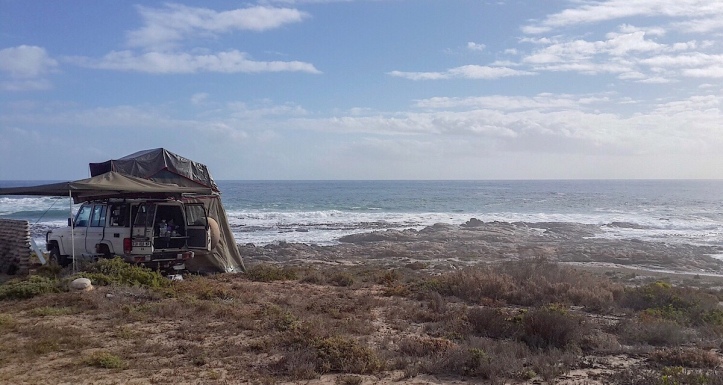
Richtersveld to Namaqua Park:

R&N2017-16
South Africa / Namibia corner at Alexander Bay

Namaqua Park:

R&N2017-16
Mussel shells – Kwas se baai
R&N2017-18
Typical flowers right next to the sea
R&N2017-19
Koringkorrelbaai campsite
R&Namakwa2017-20
Kwass se baai campsite – nearer to the sea one cannot wish for…
R&Namakwa2017-21
Kwass se baai

Route back via Goegab Reserve, Augrabies NP & Witsand Reserve:

R&N2017-22
Goegab Reserve
R&N2017-23
Augrabies Falls

Leave a Reply

Fill in your details below or click an icon to log in:

WordPress.com Logo

You are commenting using your WordPress.com account. Log Out /  Change )

Twitter picture

You are commenting using your Twitter account. Log Out /  Change )

Facebook photo

You are commenting using your Facebook account. Log Out /  Change )

Connecting to %s